At a glance
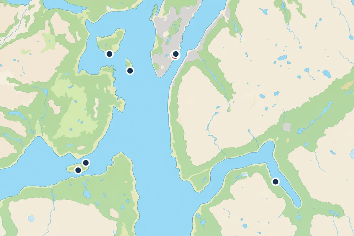
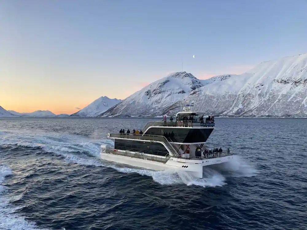
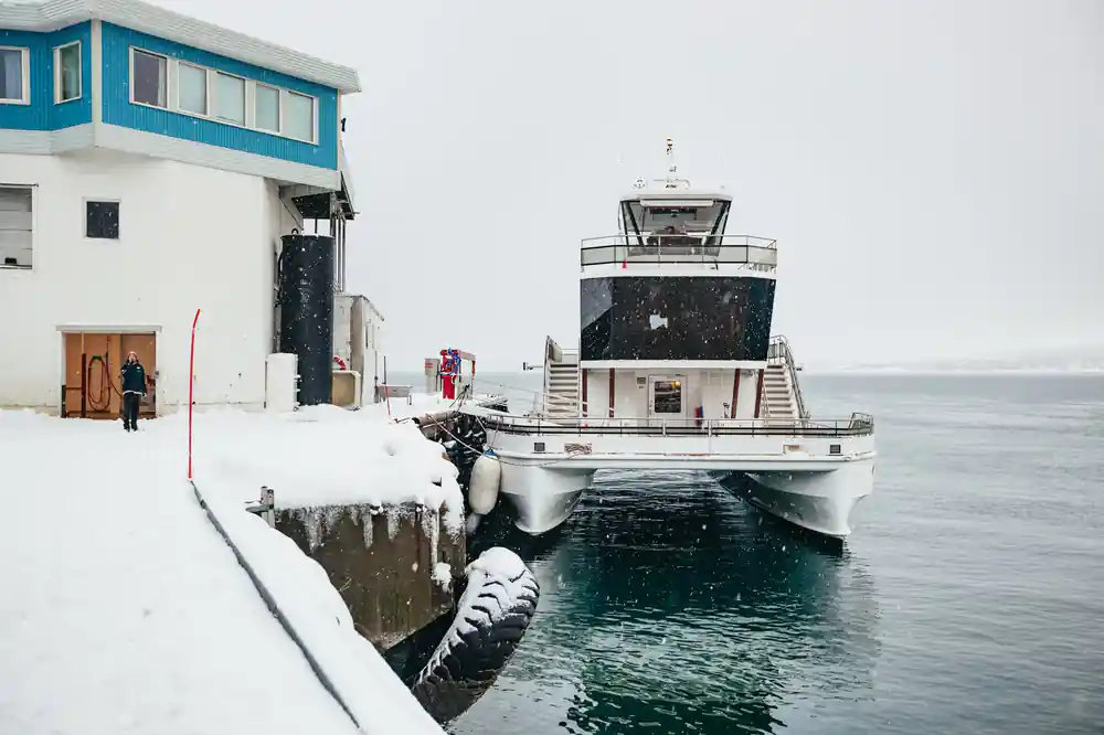
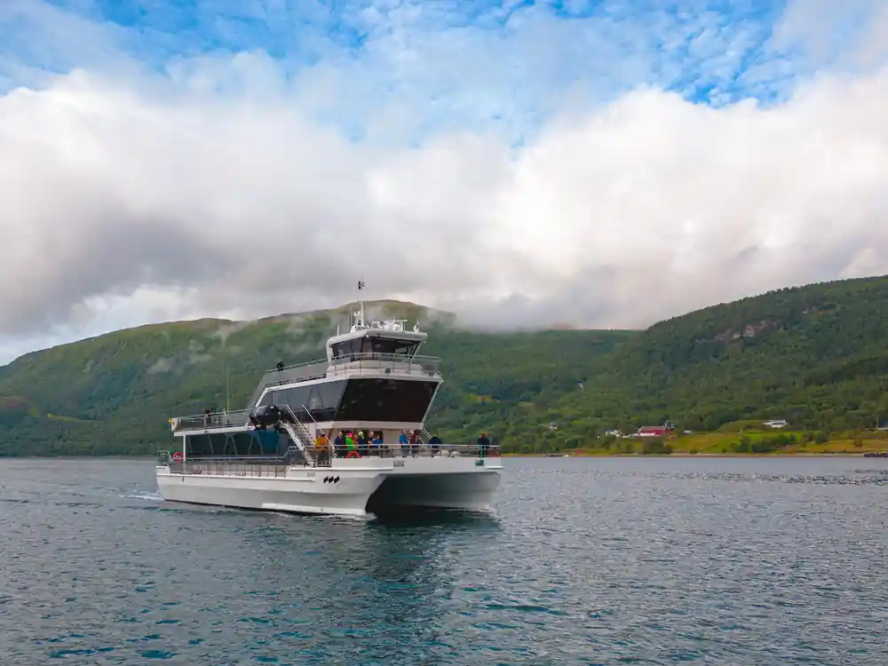
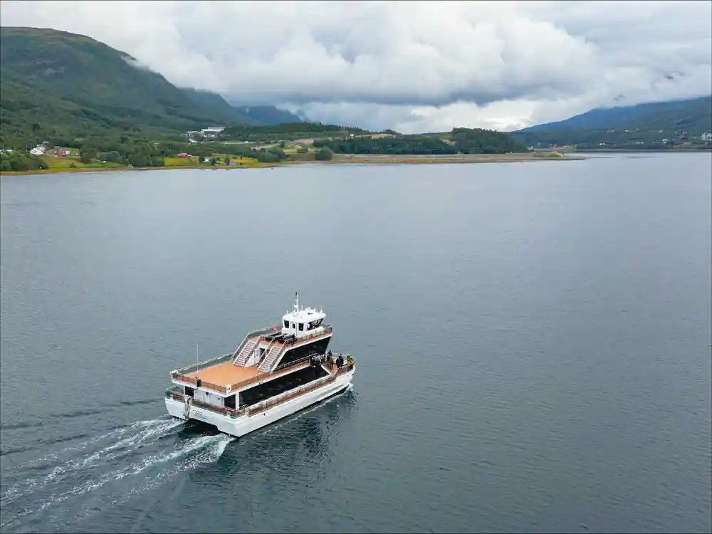
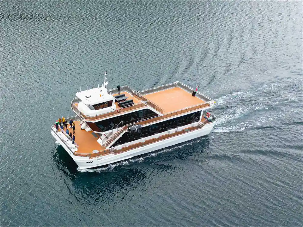
- The catamaran departs Tromsø and travels north through Ramfjorden, Rystraumen, and past Rya and Store Grindoya before reaching Tirpitz-platen, covering sheltered fjord waters.
- The cruise ventures into Arctic fjords beyond Tromsø, exploring remote bays carved by ancient glaciers while remaining within protected waterways throughout the 4-hour journey.
- A weather-dependent stop at a local fishing station on Rya allows you to step ashore and experience traditional Arctic coastal life firsthand during the excursion.
- Watch for sea eagles, marine life beneath the surface, and kelp forests visible via underwater drone as you sail between dramatic fjord walls and island passages.
- The fjord system you navigate was sculpted over millennia by ice, creating the steep peaks, narrows like Rystraumen, and sheltered basins that define this Arctic coastline.
Departing Tromsøya into Arctic Waters
Your catamaran leaves the harbor at Tromsø and immediately enters one of Norway's most dynamic coastal systems. The city itself sits on an island, Tromsøya, surrounded by fjords that extend in multiple directions like fingers reaching into the Arctic landscape. Within minutes of departure, you leave the sheltered waters of the inner harbor and enter Ramfjorden to the east, where the first panoramic views open across the water. The transition from city to wilderness happens swiftly; ahead lie seven distinct stops and waypoints that trace a route shaped entirely by the ice age that ended roughly 11,700 years ago.
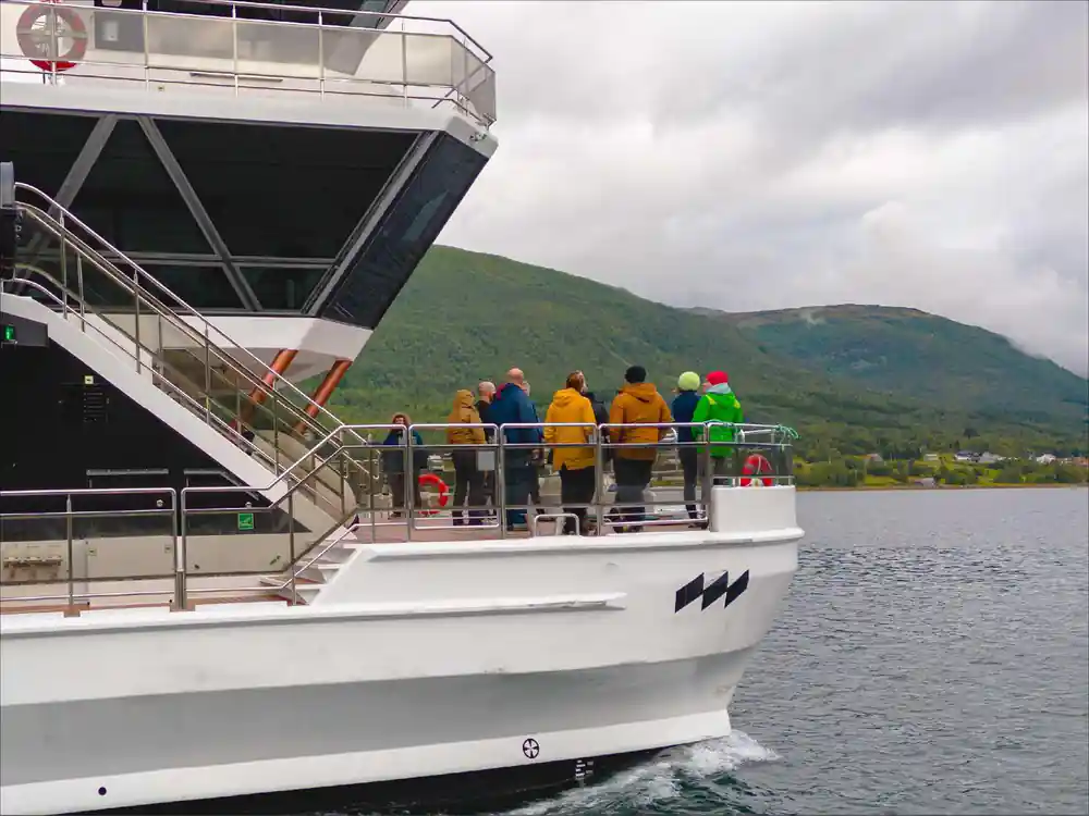
The early stretch of the journey takes you past Store Grindoya, a substantial island that rises from the fjord floor and acts as a natural barrier between inner and outer waters. Professional guides on board use this passage to explain how glaciers once covered this entire region under ice kilometers thick, and how the weight and movement of that ice carved the very fjords you are sailing through. The water deepens steadily as you move away from Tromsø, and the boat's speed increases once you clear the immediate approaches to the city.
The Rystraumen Narrows and Tidal Drama
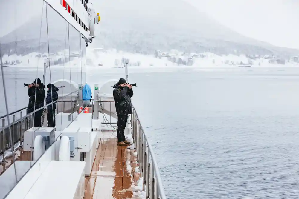
Between Store Grindoya and the outer coast lies Rystraumen, a narrow strait where water rushes with visible force twice daily. This is not a gentle passage. As tides change, the difference in water level on either side of the narrows creates a powerful current that can reach several knots. The catamaran navigates this tidal river with precision, and guides explain the mechanics: cold Arctic water from the outer fjords meets warmer water from the inner basins, creating turbulence and swirling patterns visible from the deck. Rystraumen is also rich feeding ground; fish congregate here, which in turn attracts eagles and other seabirds that you may spot diving and hunting during your passage.
The narrows represent a threshold between two distinct water masses and ecosystems. Beyond Rystraumen, you enter deeper ocean influence. The guides point out how glaciers carved this passage into a natural gateway, and how the same ice age forces that shaped the landscape continue to influence water movement and marine life distribution centuries later. The rush of water through Rystraumen is visible evidence of how geography, ice history, and daily tidal cycles interact to create the conditions that make this fjord system unique.




Store Grindoya: An Island Shaped by Ice
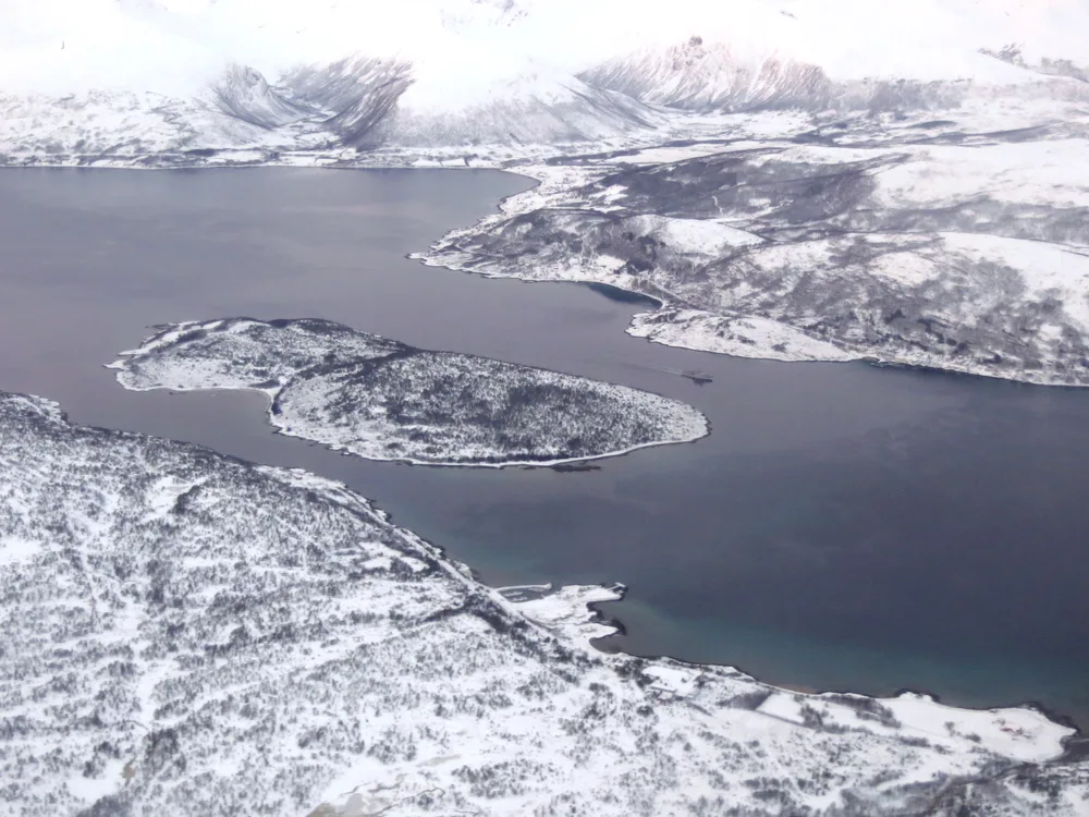
Store Grindoya stands as a prominent landmark throughout much of the cruise, and the boat's route ensures you see it from multiple angles. This island is a classic example of glacial sculpting. During the last ice age, a massive glacier flowed through this fjord system, and as it moved, it ground away softer rock and left harder stone standing proud. Store Grindoya is what remains: resistant bedrock shaped by that grinding pressure and subsequent erosion. The island rises notably from the surrounding water, with steep shorelines and exposed rock faces that tell the story of ice movement in their very geometry.
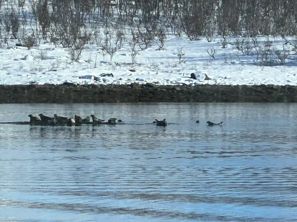
Wildlife thrives around Store Grindoya. Eagles nest on its cliffs, and the surrounding waters attract fish and marine mammals. The guides explain how the island's shape and position create natural feeding zones where currents concentrate food for fish and birds alike. You will have time to observe the island's features and wildlife as the catamaran moves past, and the professional guides provide context about both the geological forces that created it and the living systems that depend on it today.
Ramfjorden: The Inner Fjord Reach
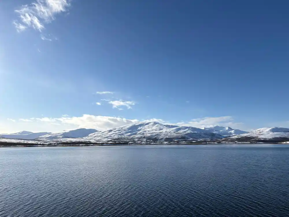
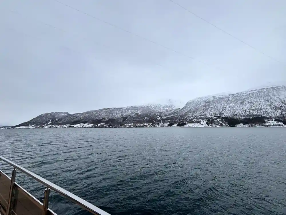
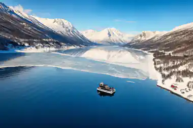
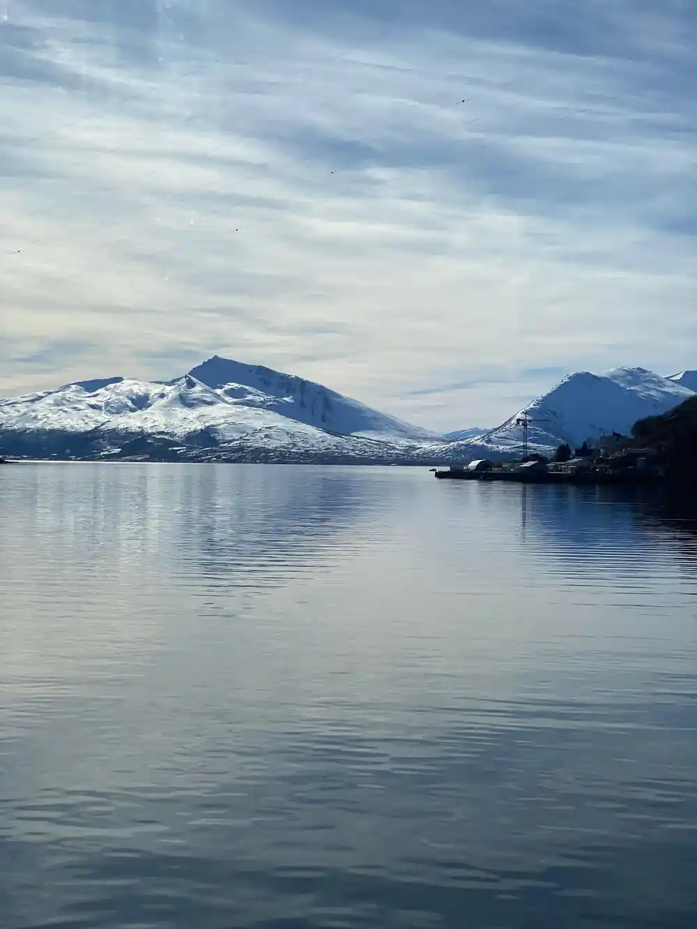
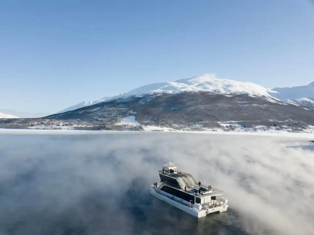
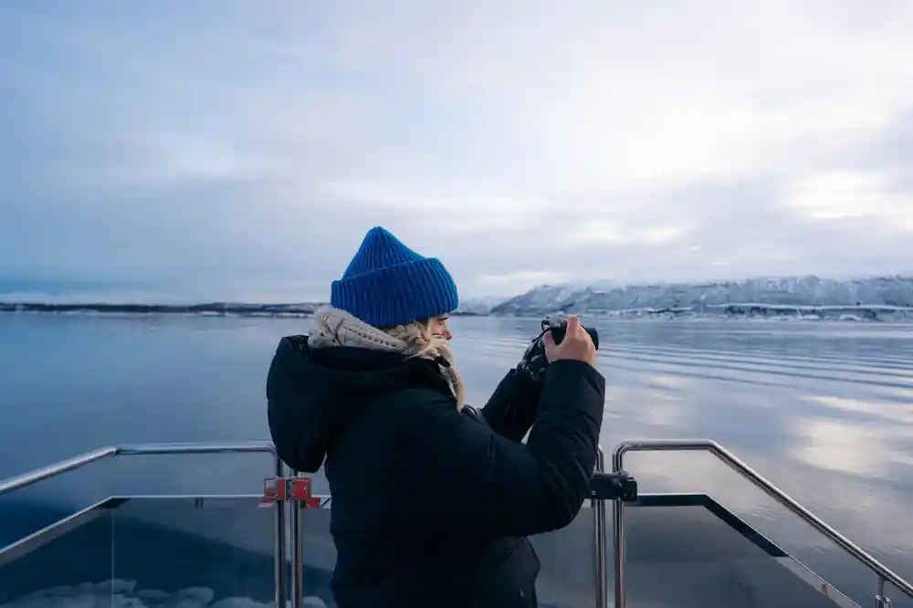
Ramfjorden extends inland from the coastal waters, penetrating deep into Arctic terrain. Unlike the exposed outer fjords, Ramfjorden offers a more sheltered passage where you can observe how glaciers carved U-shaped valleys that now hold water. The fjord walls rise steeply on either side, creating dramatic perspectives from the catamaran deck. Snow and ice often cling to peaks visible from the water, especially in shoulder seasons, and the guides explain how these modern ice patches are remnants of the same glacial system that, thousands of years ago, filled the entire fjord with solid ice hundreds of meters thick.
The inner reach of Ramfjorden is where you encounter the full scale of the landscape. Waterfalls cascade down rock faces where meltwater from higher elevations finds its way to the sea. The water itself changes color noticeably in the fjord, often taking on a milky blue-green hue from suspended glacial silt, evidence of active processes still at work reshaping the land. This is prime territory for marine life viewing, and the catamaran slows to allow observation of whatever wildlife is active on the day of your cruise.
6
The catamaran visits 6 stops across Arctic fjords carved by ancient ice, from Tromsø to Tirpitz-platen.
The Rya Shoreline Stop and Fishing Station Visit
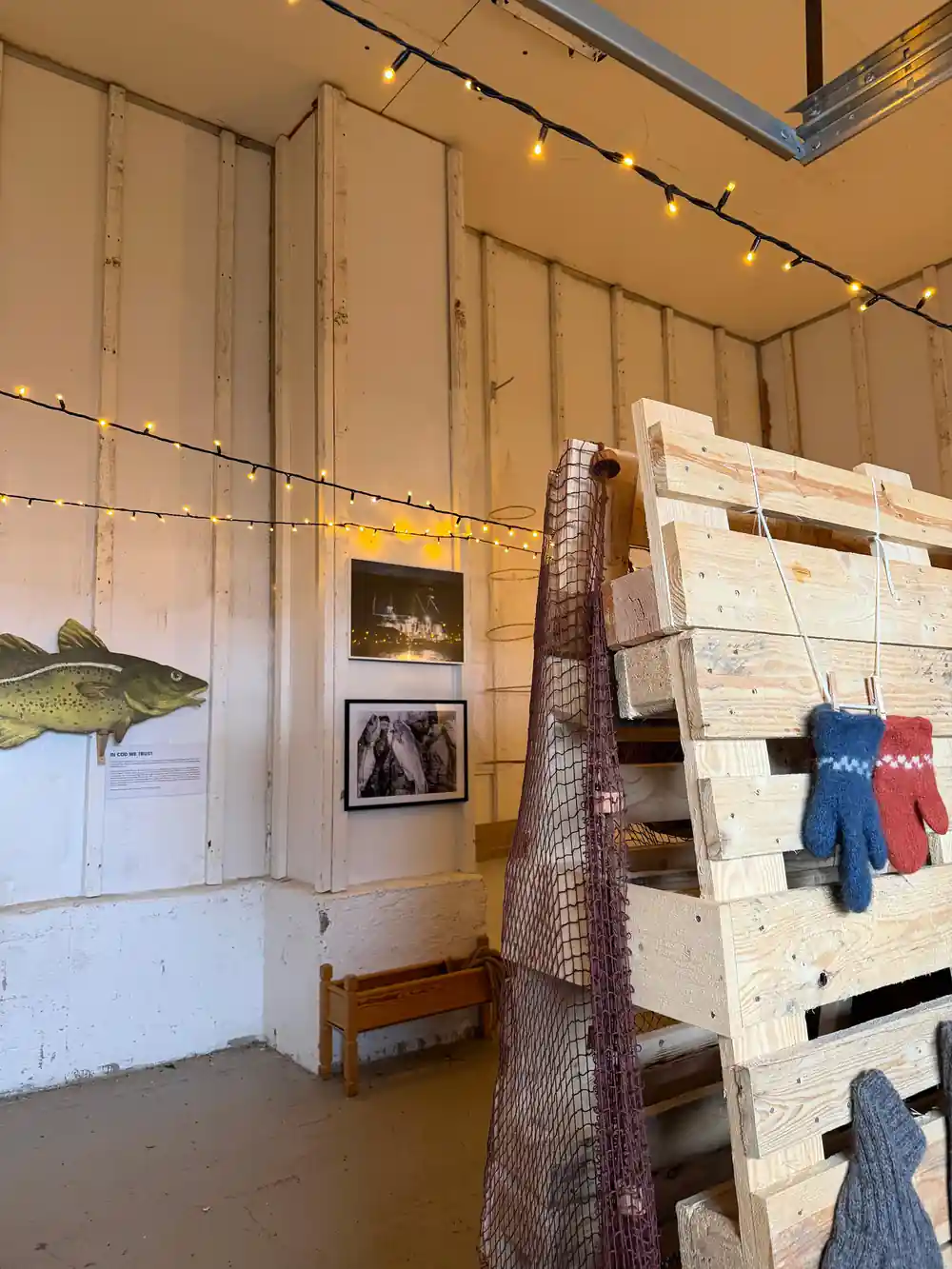
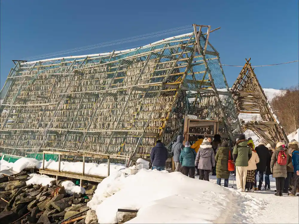
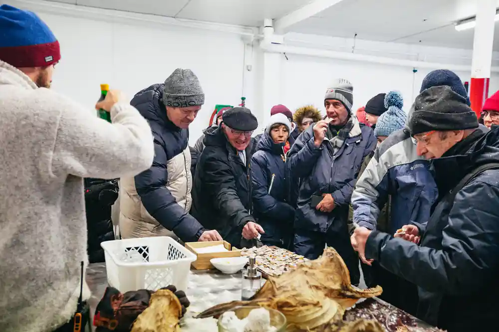
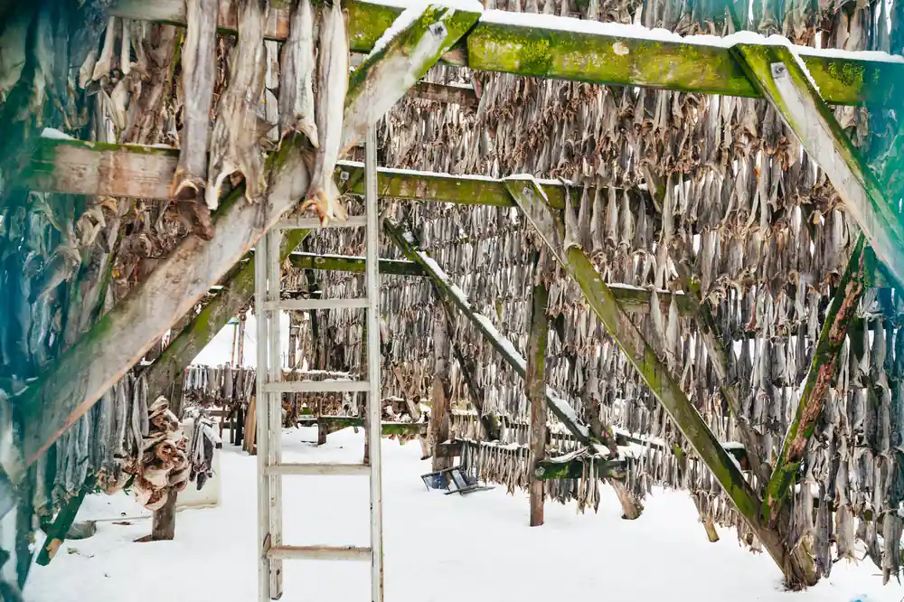
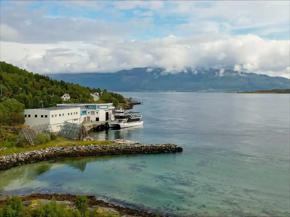
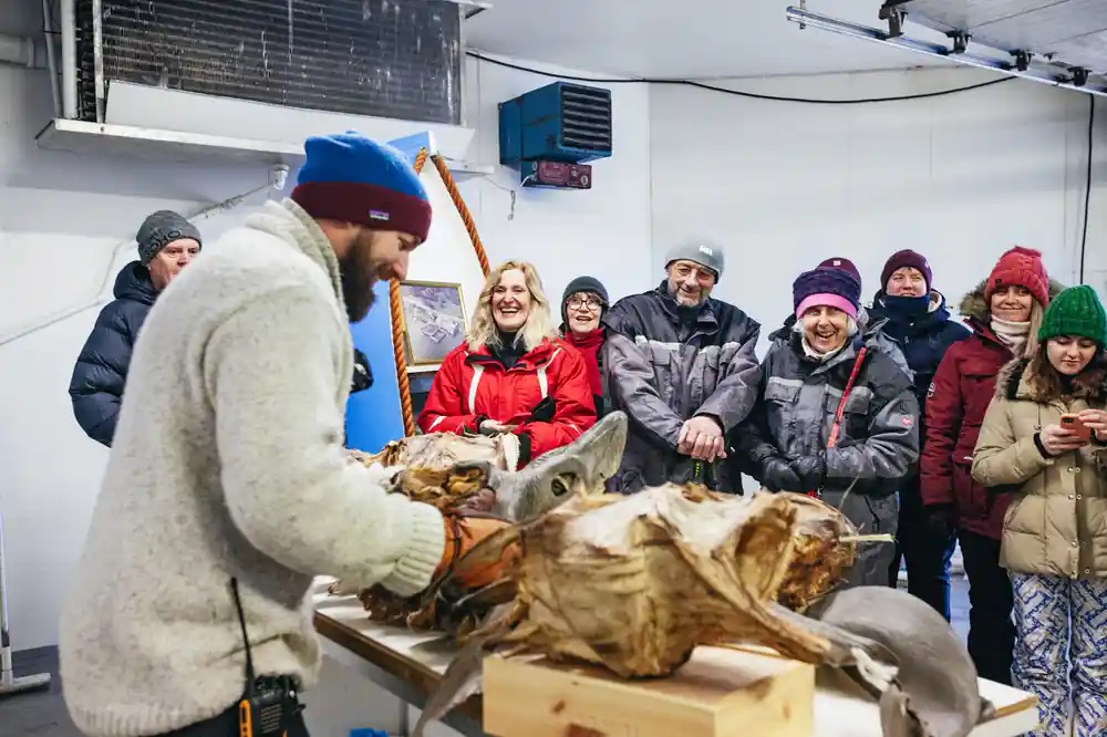
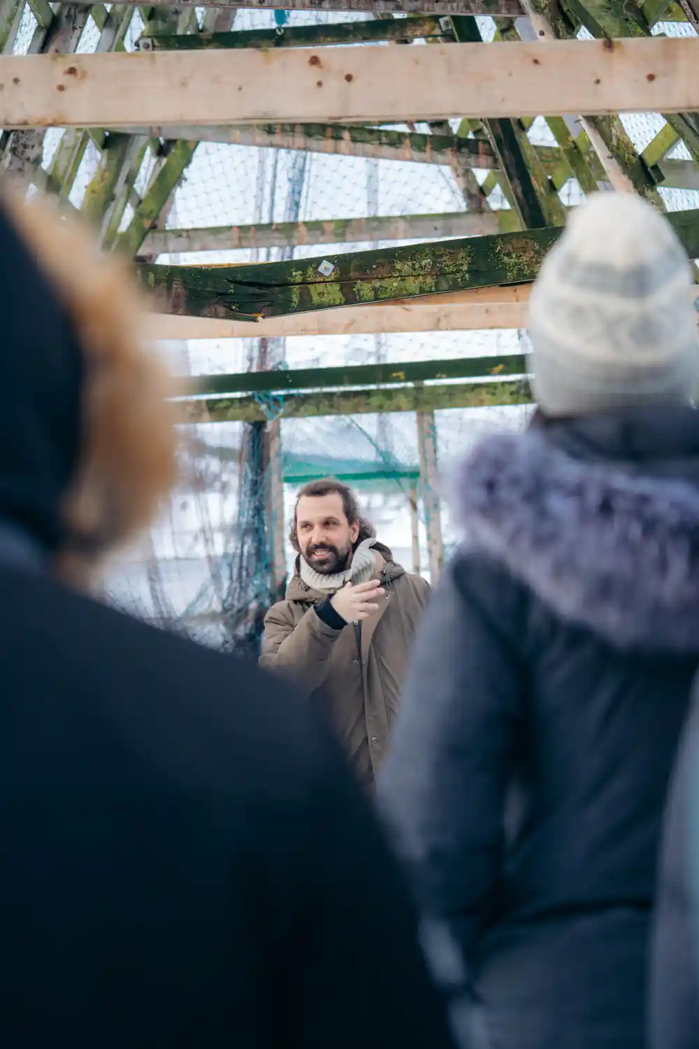
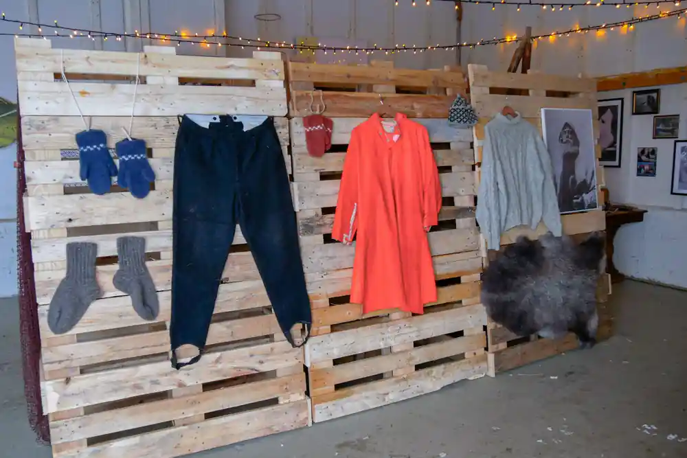
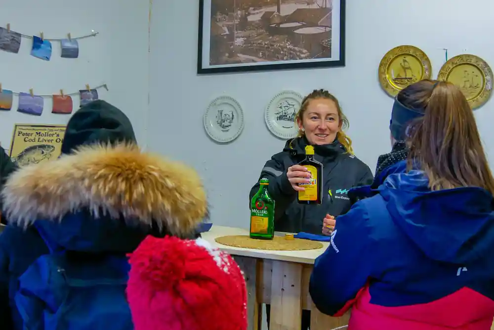
At Rya, the cruise pauses for a land stop at a local fishing station, weather permitting. This is where you leave the catamaran deck and step onto solid ground to see directly how people in this region work with the fjord ecosystem. Fishing stations are a significant part of Arctic coastal life, and the stop gives you firsthand view of the infrastructure and practices involved. The professional guides accompany you ashore and explain both the operations and the environmental considerations that come with farming fish in a fjord system shaped by glacial history and tidal dynamics.
The Rya stop typically lasts long enough to stretch your legs, observe the farm setup, and ask questions of the guides who are knowledgeable about local history and the way traditional and modern industries have adapted to this landscape. The shoreline itself shows evidence of glacial action: rocks polished smooth by ice, valleys carved by flowing glaciers, and the steep topography that makes fjord living distinctive. This stop connects the abstract story of ice age geology told from the boat to tangible present-day reality of how people inhabit these fjords today.
Tirpitz-platen and the Outer Reaches
The final waypoint on the route is Tirpitz-platen, named for a German battleship that was sunk in these waters during World War II. This location marks the outer limit of your cruise range and sits where fjord waters fully open to the Arctic Ocean. The landscape here is notably more exposed than the inner fjords; winds are stronger, waves can be larger, and the sense of reaching the true Arctic becomes palpable. From this vantage point, you can see across expansive water toward distant peaks and understand the geography of the entire system you have just traveled through.
Tirpitz-platen represents the threshold between fjord and open sea. The guides explain how this outer region experiences stronger tidal movements and more direct influence from Atlantic currents. The water clarity often improves here as the deeper ocean waters provide different light conditions than the glacier-fed inner fjords. Wildlife viewing in this zone differs from the sheltered inner waters; seabirds adapted to open ocean conditions become more common, and the scale of the landscape emphasizes how the fjord system is carved into a larger Arctic geography.
How Ice Age Glaciers Carved This Entire System
Every feature you see on this cruise exists because of glaciation. The last ice age, which peaked roughly 20,000 years ago, saw glaciers flowing down from the highlands toward the sea. These glaciers were not small features; they were massive rivers of ice, hundreds of meters thick in many places, grinding across the landscape with immense force. As they moved, they carved valleys into U-shapes, eroded soft rock away, and left harder stone standing proud. When the climate warmed and the ice retreated roughly 11,700 years ago, the sea level rose and flooded these carved valleys, creating the fjord system you cruise through today.
The evidence of glaciation surrounds you at every point on the journey. The steep valley walls, the milky glacial silt in the inner fjord waters, the islands like Store Grindoya that resist erosion, and even the underwater kelp forests explored by the drone camera (weather dependent) are all products of ice age processes. The guides use the landscape itself as a textbook, pointing out striations on rock faces where ice once scraped, explaining how different rock types eroded at different rates, and showing how the fjord's width and depth reflect the size and power of the glaciers that carved them. This 4-hour journey is fundamentally a journey through deep time, seeing in the present landscape the handiwork of ice that vanished millennia ago.
Book Your Arctic Fjord Sailing Today
from US$157Reserve now & pay later